Home
Samantha Lee
Diploma 6

Sacred Anomalies: Infiltrating Landscape Surveys

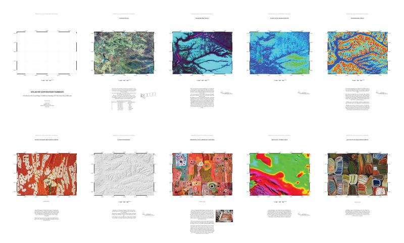
The vast territories of the Australian outback are highly contested landscapes. The technologies with which this ground is surveyed and recorded also become the political means through which groups claim ownership over it. My proposal explores the space of the survey as a parallel site for intervention, and seeks to question the role of the architect in a contested landscape where value is assigned through its virtual construction. Within the mining survey data, exist a seasonal network of mysterious dreamtime anomalies. Anchored around aboriginal sacred sites these mythic objects slowly stalk the contested territory, distorting mining cartographies to generate a new form of landscape representation. This architecture of mirages exists at the threshold between the sky and the subterranean, between the physical and the virtual, to generate a ghostly constellation of sacred sites hidden within the dataset.

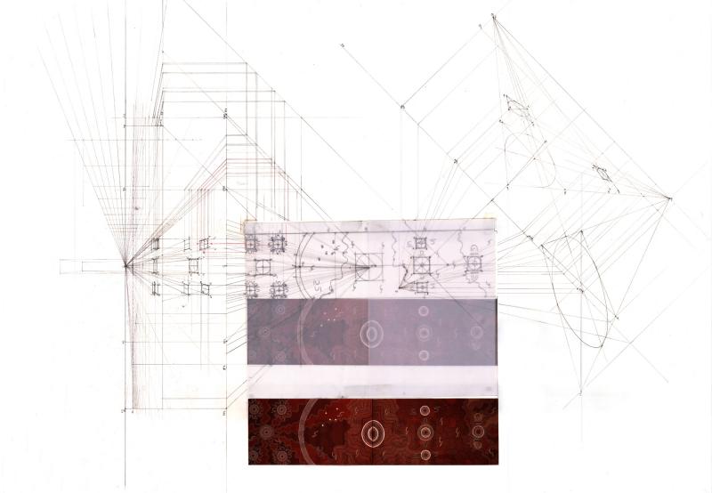
In the continuous battle for Native Title Rights, economic surveys come into conflict with aboriginal paintings. In these legal negotiations, it is unique to Australia that aboriginal Paintings are used as evidence to prove a connection to land through knowledge of specific land features.
Mapping is a political act and is used for claims of ownership. Therefore, the instruments and technologies of viewing become the means for assigning value to landscape.
In contrast with contemporary objective modes of viewing landscape, aboriginal paintings use narrative, known as Songlines or Dreamtime stories, embedded within the land as a kind of network of sacred sites that criss-cross the whole of Australia.
For aboriginals whose occupation over the land was not built upon, but rather is intertwined with land features, the land itself is their cultural heritage. Therefore it comes into direct opposition with mining. The project takes on a site of contested territory. This is a landscape which has been changed by intense droughts in the 1960s, due to an increase in iron ore mining in the neighbouring region which drained the underground system that fed the waterholes in the desert, the only means of survival for a nomadic lifestyle. 
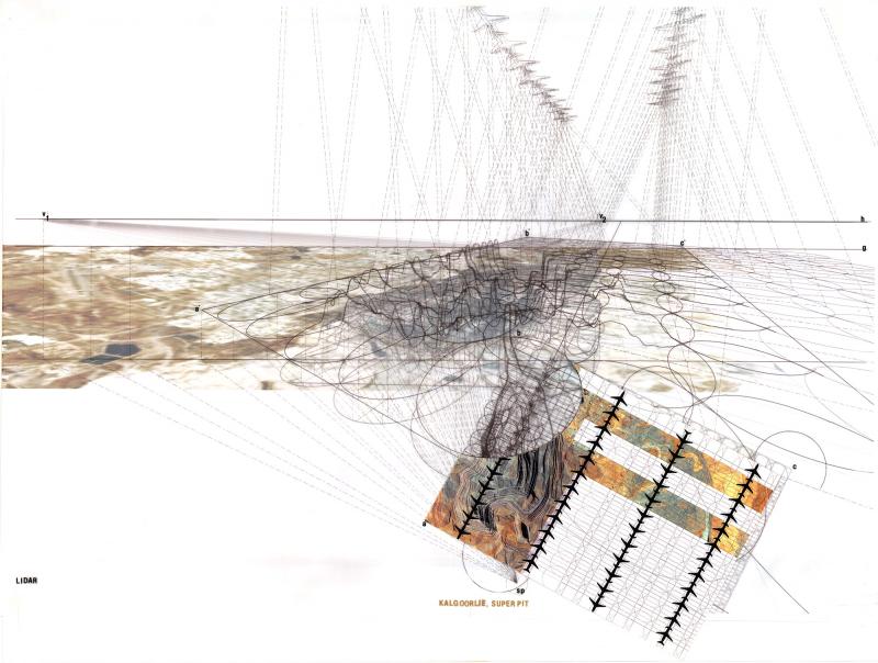
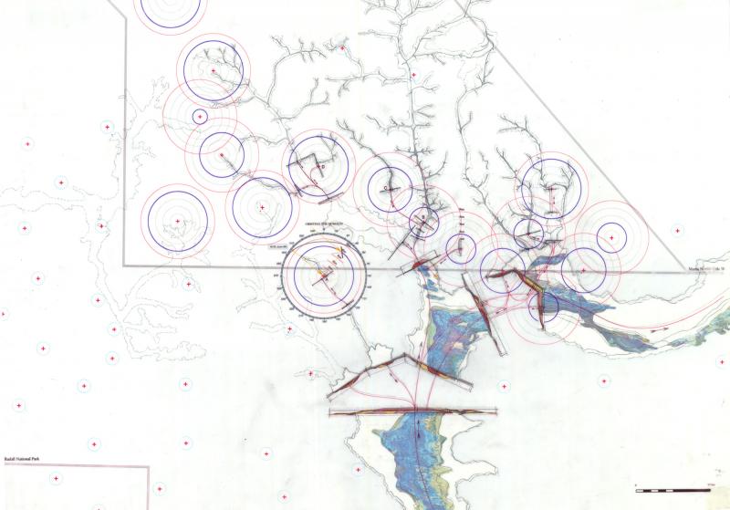
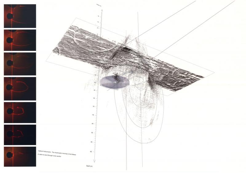
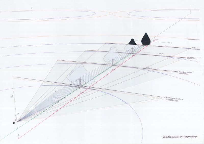
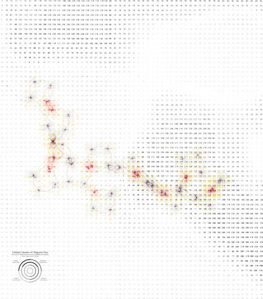
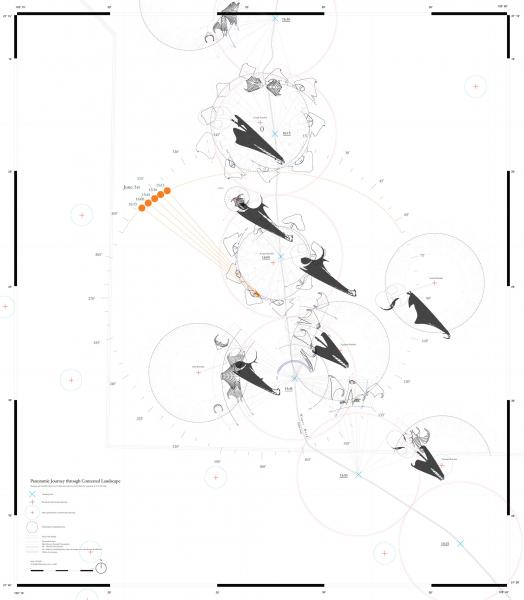
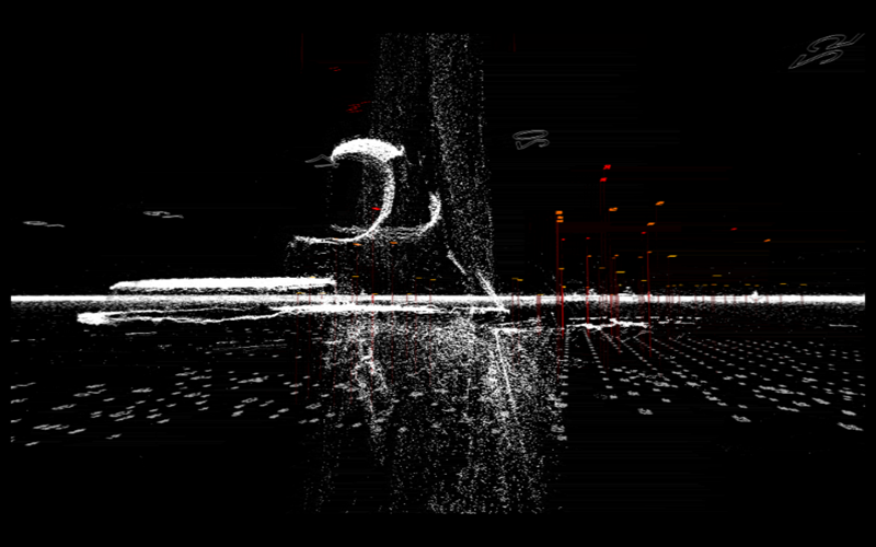
The sacred waterhole is an extension of the underground palaeovalleys, therefore in the understanding of a culturally important landscape all of this must be understood as inseparable.The anomaly being created in the Lidar survey is one that expresses a deep ground, where its presence is made in section. I built a 3d scanner in order to recreate the principles of the lidar plane scanning the landscape from above as a single moving viewpoint. Laser scanning was used as a means to paint into the data point cloud.The objects on the horizon are perceived as elongated and floating, affected by the desert mirage.By scanning, the hidden ghost of the object is revealed, becoming a new layer of meaning in the virtual dataset. The sacred sites are given a presence which extends into the invisible and the subterranean realm, and isn’t just reduced to a thin surface. A reality made explicit by Native Title, this severs the surface of land from the government-owned underground.Orbiting around the sacred waterholes, these new inhabitants of the land form a constellation in perpetual motion. When they meet, the magnetic field between them is amplified, creating a fluctuating network within the data. As an experience of journey driving though the flat desert, they become mysterious beacons floating on the horizon, and their reflections or silhouettes become navigational references.
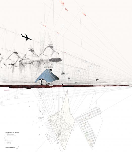
Standing at the sacred site, they orbit your horizon line, which in plan view becomes a circle as the panoramic view is unfolded around you.The data landscape exists in the virtual as the second site for the project. The physical presence of these new inhabitants is a consequence of their virtual existence, where they live out their lives haunting the economic mining surveys, interfering with the contemporary values of land use.
These anomalies, made up of points and numbers, break the regulated surface creating voids and scattered data.